

Ameya Gode
Program Manager – GeoAnalytics
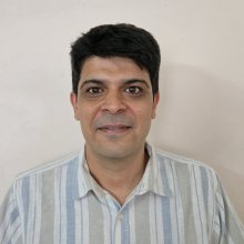
Ameya Gode is a Program Manager – GeoAnalytics with the Food, Land and Water program at WRI India, where he uses remote sensing and GIS analytics for planning and monitoring.
Ameya brings over a decade of experience applying GIS and Earth Observation in forestry, agriculture and hydrology. His areas of focus include high-resolution forest cover mapping, near real-time change detection, forest fire management, technology-based crop yield estimation and UAV imagery analysis. His previous work includes roles with UNDP, KSRSAC and ATREE.
Ameya holds an MSc in GIS and Earth Observation from the Faculty of Geo-Information Science and Earth Observation, University of Twente, the Netherlands, and a BSc in Environmental Sciences from the University of Pune. His research interests include the application of geospatial technologies in forest conservation, sustainable agriculture and hydrology.
Outside work, Ameya enjoys swimming, travelling, cooking and attending concerts.