Improving Governance through Coordinated, Real-Time Data
by and -
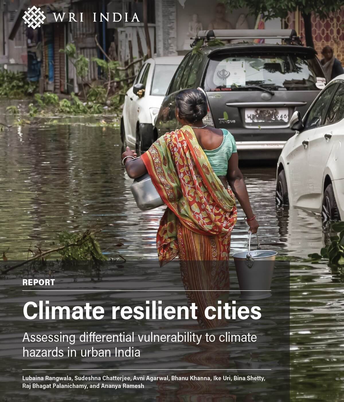
In July this year, Bengaluru witnessed heavy flooding which prompted the state government to issue a directive to clear all encroachments on storm water drains and lakebeds, articulating the cause and effect between the city’s development boom and the overburdening of its infrastructure. Over the years, wetland and low-lying areas that long provided critical storm water drainage had either been built up, or been used as a dumping ground for construction debris and solid waste, degrading its hydrologic functionality.
‘Clearing encroachments’ involved a spate of building demolitions, which was quickly followed by a round of accusations and finger-pointing, implicating at least 20 officers across multiple departments. The lack of coordination between departments during plan approvals and their reliance on outdated, siloed data for permitting verifications means city officials are approving decisions that change the face of the city in a data vacuum. This data vacuum is the result of certain key issues, out-of-date revenue maps, lack of coordination between various departments, inconsistent standards and lack of common platform for sharing of data, fragmented, partial, or inaccurate datasets, amongst others.
Bengaluru’s growth has not been consistently or reliably incorporated into the city’s official maps. Many major drainage points were long ago converted to roads, bus stands, golf courses, and residential layouts. The official maps of one department do not match the maps of the next department and, ultimately, none of the official maps capture the rapidly changing ground realities.
Rapid urbanization has already put tremendous pressure on infrastructure and city services, resulting in water shortages, overflowing drains, spilled garbage in the streets, and superlative road congestion. Inadequate mapping and poor interdepartmental cooperation only aggravate already faltering service delivery. In order to begin finding solutions to some of these problems, Bengaluru urgently needs a unified, authoritative geospatial database.
The Karnataka knowledge commission envisioned a ‘common state-wide authoritative’ K-GIS platform in 2013. In 2015, the BBMP restructuring committee proposed a similar platform for the metropolitan area - Bangalore Spatial Information Center (BASIC). The state government, realizing the importance of this work, approved the ‘K-GIS’ project in 2016 allocating INR 150 crore funding for three years. The Karnataka State Remote Sensing Application Centre (KSRSAC) is designated as the nodal agency for this work.
If this project works as designed, KSRSAC will provide a single basemap as a foundation for all agencies to build their databases, establishing one cohesive point of departure. Currently in the drafting phase, the plan outlined under K-GIS standards Volume-1 by KSRSAC, covers details from updating cycles to database formats, and agencies responsible for validation. This centralized portal promises to remove agencies’ sectoral walls, seamlessly integrating all departmental data into one system. Once integrated, GIS datasets can be superimposed and correlated to reveal geographical-data relationships and patterns rendered undetectable across the previously fragmented sectors. In short, this spatial data repository could produce valuable scientific perspective in municipal decision-making.
An open spatial information centre hosting an up-to-date picture of Bengaluru’s systems would unlock capacity to achieve good governance priorities: vesting the public with the tools to hold agencies accountable, empowering ward committees to engage in local area planning, establishing a common a set of reporting indicators across agencies, and ending data redundancies. Most crucially, integrated departmental data would elevate the visibility of environmental concerns throughout the planning process, making critical natural resources, such as drainage networks, a routine feature of the development paradigm.
Kate Traynor is a graduate student in Urban and Regional Planning at the University of California Los Angeles. V. Surya Prakash is a Managing Associate at WRI India.